Automated Flight Following and Operations Management
Automatically track aircraft position to enable real-time flight following with TrooTrax.
TrooTrax Flight Following Services
Automated Flight Following (AFF) & Fleet Management Software
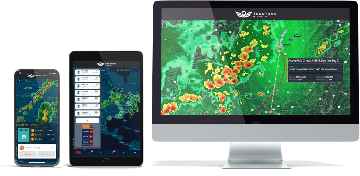
Trusted by 7,500+ users in over 100 countries, SKYTRAC’s TrooTrax allows dispatch teams to chart real-time flight paths for an unlimited number of aircraft.
Flight Following Capabilities
Real-Time Alerting
Users can have 24/7 situational awareness with a variety of event notifications via SMS, email, or the TrooTrax mobile application. Receive notifications when aircraft depart and arrive, enter or exit user set geofences, and more.
Customizable Map Layers
Add 3rd party layers to visualize additional data on the map, such as wildfires, hydro lines, air medical bases, or oil platforms, and access up to 52 global weather layers from recognized aviation weather providers.
Mobile App
Using the flight-following features in the mobile app, TrooTrax allows you to receive alerts, send texts, and access key mission functions on your mobile device.
Rapid Access Toolbar
Quickly select and zoom to an aircraft indicating distress and see all key data instantly and in one place.
User Permissions
This unique software solution offers extensive user permissions for third-party logins, enabling users to limit aircraft and website visibility to groups of users or specific individuals depending on their needs.
Data Retrieval
Gain insight into your fleet’s trip hours, miles, and OOOI. All data received through TrooTrax can also be reported using pre-configured PDF reports or exported via API, KML, CSV, or Excel.
Security and Compliance
Keep your flight data secure and meet your compliance requirements. SkyWeb enables robust aircraft and fleet tracking with leading cybersecurity so you can be sure your flight operations are hidden from prying eyes.
IFR/VFR Aeronautical Charts
Access IFR and VFR aeronautical charts from SkyWeb. Our rich aeronautical charts are designed to assist dispatch teams in the navigation of their aircraft. SkyWeb’s up-to-date maps allow teams to make the best decisions.
Customizable
SkyWeb offers aircraft tracking in intervals of 0.5 seconds through to 15 minutes. In addition, customizable reference points and Go/No Go flight zones are configurable through the SkyWeb platform.
Weather Overlays
SKYTRAC offers advanced weather overlays powered by DTN. Near real-time weather insights allow dispatch teams to increase their situational awareness to reroute aircraft in weather events.
Achieve Compliance
SKYTRAC SkyWeb is compliant to various global authorities including ICAO. Our solutions enable flight operations departments to achieve compliance in a wide number of aviation industries around the globe.
Unlimited Users
SkyWeb offers unlimited users for flight operations departments. Reduce your costs with a leading platform utilized by 7,500+ users globally in all segments of aviation including aerial firefighting, offshore oil and gas, EMS, and more.
Pricing
Various hardware and service options available. For accurate pricing, contact a technical sales expert.
TrooTrax Demo
Access a live TrooTrax demo with one of our experienced customer support representatives. See how your organization can benefit from features like Automated Flight Following and Real-Time Alerting, and learn how TrooTrax can be utilized for your operation.
TrooTrax Flight Following
SKYTRAC’s automated flight following allows dispatch teams and other ground crew to chart real-time flight paths for an unlimited number of aircraft. Set flight corridors, add custom geo-references, monitor flight plan deviations, and more.
Get started now
Track and manage global fleets, flight paths, and more with the web-based SkyWeb Flight Following.
Get started now
Track and manage global fleets, flight paths, and more with the web-based SKYTRAC SkyWeb.
Enabling Products
Enabling Products
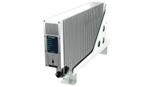
Provide up to 704 Kbps of Satcom and numerous interfaces with the true all-in-one, flagship SDL-350.
Versatile midband Satcom solution with cellular to deliver continuous connectivity for manned and unmanned operations.
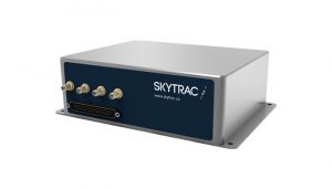
Enable cellular, Wi-Fi, and up to 704 Kbps of broadband Satcom connectivity with the IMS™.
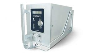
Enable multiple capabilities with the cost effective narrowband Satcom and onboard server solution.
Flight Following
FAQ
Flight Following FAQ
Yes, you can customize interval reporting and changes for different missions.
Program administrators govern privacy protocols. You can set up custom view settings for separate user profiles.
Position reporting data can be forwarded to separate operations with a simple request to our tech team.
When the estimated time of aircraft arrival set by the user in TrooTrax is reached and the aircraft has not arrived, users can then be notified.
Geofences support creating custom “no-fly zones” so that flight followers can be alerted in the event an aircraft enters a no-fly zone.
TrooTrax supports all SKYTRAC position-tracking products. Current SKYTRAC customers using WebSentinel or SkyWeb are invited to consider transitioning to TrooTrax.
Any position-tracking product can be supported in TrooTrax. SKYTRAC has bilateral agreements with most aviation tracking services to exchange position data, which enables fleet tracking in TrooTrax for aircraft equipped with third-party devices.
If you need training on how to use TrooTrax as a team, organization, or operation, our customer service team can assist you by providing a training session or multiple tutorial videos that cover everything from creating geofences to setting up the software.
Download Product Sheet
Download the TrooTrax™ product sheet and speak with a connectivity expert today. We are eager to discuss your business needs.
